
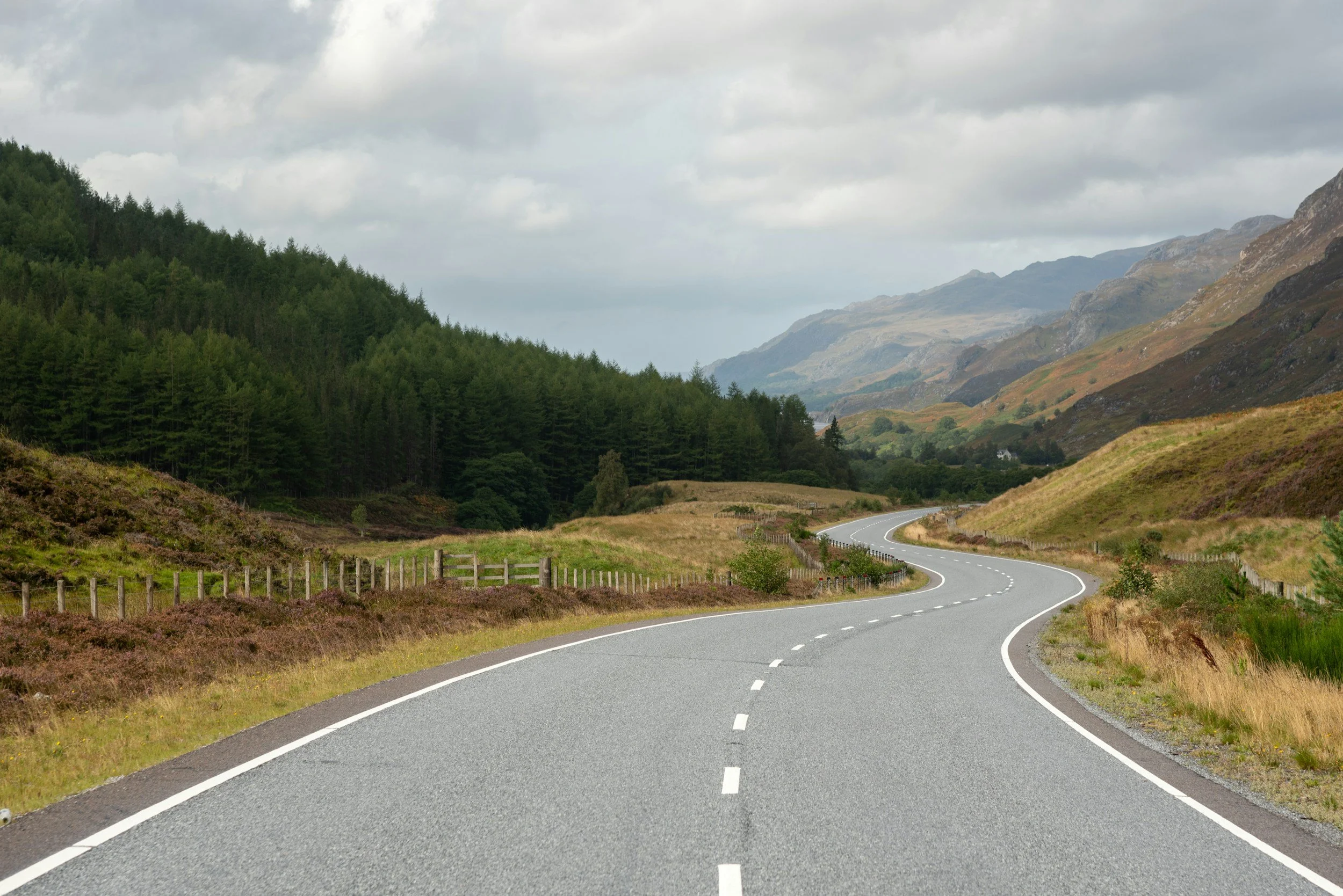
Roadbook
Our routes are open to both club members and the wider cycling community. Each route is carefully curated to showcase the best roads, scenery, and local cafés across Stirlingshire and beyond.
Routes can be downloaded via Ride with GPS and easily uploaded to your cycling computer.
Routes are grouped into three distance categories:
Up to 30 Miles
Carse Loop
Distance: 24km/15mi
Elevation: 251m/825ft
Gentle ride on cycle tracks and quiet roads. Lots of coffee options in Bridge of Allan. Great route reversed also.
Gettin’ Smiddy with it
Distance: 29.6km/18.4mi
Elevation: 241m/790ft
Leaving Dunblane by Doune trail, and through to Thornhill and then following the A873 to the Smiddy farm shop and cafe. Heading back to Dunblane via Doune.
Micro and Big Braes
Distance: 43.7km/27mi
Elevation: 429m/1405ft
Heading down to Doune and along Micro braes following the River Teith.There is then the climb up the north face of the Big Brae, descending past Loch Rusky and open views of the Queen Elizabeth Forest Park. Returning to Dunblane along the A81 with cafes available in Doune.
Micro and Mini Braes
Distance: 39.5km/23.4mi
Elevation: 361m/1185ft
This route takes in the Deanstone road running parallel to the River Tieth; the road has some rolling hills. At the junction at the end of the road, the route takes a right up the north face of the Micro Brae, continuing to follow the road to Thornhill and back to Dunblane via Doune.
Doritos and Woodhouse
Distance: 39.5km/24.5mi
Elevation: 287m/940ft
Leaving Dunblane by Argaty Triangle, the route heads out to the Woodhouse cafe along the B803. The route then heads to Thornhill, keep an eye out for the aircraft after the short steep climb. Returning to Dunblane via Doune.
Sherrifmuir - Braco Loop
Distance: 38km/28.5mi
Elevation: 435m/1430ft
A long challenging climb not to be underestimated out of Dunblane up the Glen Road and joining the Sheriffmuir Road. The route descends down to Blackford via a crossing of the A9, please take care to cross safely. There is short gravel track that links up to Blackford. Taking the Panholes and Orchill Roads to Braco Coffee. Returning to Dunblane via the Braco Road
30-50 Miles
Through the Barricade
Distance: 55km/34mi
Elevation:486m/1595ft
A scenic route, heading southwest, leaving Dunblane and heading to Gargunnock. Following the Glinns Road, you’ll join the Top of The World climb on the Kippen road and descend to the Woodhouse Cafe, returning to Dunblane by Thornhill. Please close all gates after passing through on the Glinns Road.
Steady on Steading
Distance: 64km/40mi
Elevation: 700m/2300ft
Heading North via Braco, the route heads up the Comrie Moor and descends through Langside with views of the Lurgan Hill and Torium. Dropping down into Crieff to visit the Steading Courtyard. Returning to Dunblane through Muthill and re-rding the Braco road back.
Dukes of Hazard
Distance: 72km/45mi
Elevation: 845m/2275ft
A westerly route climbing the north face of the famous Dukes Pass, the route heads through Deanstone and takes cycling routes to avoid central Callander before passing by Loch Venacher. The climb is gentle but long, and care should be taken whilst descending. There are several cycling friendly cafes in Aberfoyle. The route follows the A81, returning to Dunblane via Doune.
Reservoir Dogs
Distance: 74km/46mi
Elevation: 867m/2845ft
Heading South West, this route skirts around the Stirling city borders before entering North Third via Cambus. The route has a long climb through the woodland before descending down to the Carron Valley Reservoir. There is a cafe stop available at the courtyard cafe in Fintry, a booking may be required. The route returns by climbing the Top of the Word climb, Kippen and Doune.
Great Glendevon Way
Distance: 68.5km/42.5mi
Elevation: 678m/2225ft
Departing Dunblane towards Braco, this route heads to Gleneagles with a steady climb that can be challenging in places, to Glendevon. Once you reach the summit, there is a long winding descent to Dollar, where there are a number of cafe stops available. The route returns to Dunblane via the foothills, using the Glen Road cycle path to return to Dunblane.
West is Best
Distance: 76.5km/47.5mi
Elevation: 755m/2480ft
Heading out to Aberfoyle via Kippen and the Top of the World Climb. The route takes in Buchlyvie, Dalmary and Gartmore on the way to Mrs McGregors cafe on the Aberfoyle Main Street. The route returns on the rolling roads of A81 through Thornhill and back to Dunblane via Doune.
Arnprior Engagement
Distance: 55km/32mi
Elevation: 483m/1585ft
Heading out to Thornhill, the route skirts around the Flanders Moss Nature reserve and passes by the Lake of Mentieth before climbing into Kippen and rolling down to the Woodhouse Cafe. Returning to Dunblane via the B8031 and Doune.
Distance: 64km/39mi
Elevation: 290m/950ft
Kelpies
Gentle ride to the Kelpies
Glendevon
Distance: 71km/44mi
Elevation: 564m/1850ft
Anti-clockwise around Glen Devon, the route is also lovely reversed stopping off at Braco Coffee on the way back is recommended
Culross for Coffee
Distance: 64km/40mi
Elevation: 700m/2300ft
Lovely ride to the stunning Culross with great coffee shops and pubs. Bessie’s is a favourite
50 Miles+
Hey Mona
Distance: 81km/50mi
Elevation: 1063m/3500ft
A northern loop with a challenging start climbing up Sherriffmuir and descending into Blackford, following through to Auchterarder and then Dunning. The route then takes another challenging climb out of Dunning and drops through the Dunning Glen to the Cafe stop at Mona’s of Muckhart. The route follows the foothills of the Ochills, returning to Dunblane via the Glen Road.
All the Braes
Distance: 83km/51mi
Elevation: 823m/2700ft
Micro, Mini, Big and Dukes. Coffee in Aberfoyle before the final big climb, this route is nicely balanced to be able to be completed in reverse.
The Devilish Diamonds
Distance: 80km/50mi
Elevation: 873m/2865ft
A punchy day out with a mixture of rolling hills and more challenging climbs, this route leaves Dunblane via Doune and onto Drumloist. After taking on the Big Brae, the route follows onto Arnprion and up to the Top of the World. After a coffee at The Woodhouse, you then take on the Mini and Micro Braes before returning to Dunblane.
Gimmie Mohr 84
Distance: 96.4km/60mi
Elevation: 878m/2880ft
A route with breathtaking scenery taking in the Comrie Moor, the banks of Loch Earn, passing through Kingshouse to stop at the Mohr 84 Motel. You’ll then travel through Strathayre and along the shores of Loch Lubnaig, then under the shadow of Ben Ledi. The ride returns to Dunblane via the Micro Braes.
Kinkell Bridge and Wonky 8
Distance: 82km/51mi
Elevation: 732m/2400ft
After a rude start to the ride, climbing up Glen Road to Sherrifmuir, coast down to Blackford and on to Auchterarder, taking the back road to Kinkell Bridge and then a nice loop towards Perth and back to the bridge. Head home via Muthill and Braco. Not many mid-point coffee stops on this ride, so take provisions.
Eastern Adventure
Distance: 84km/52mi
Elevation: 783m/2570ft
A ride out east can be split into 3 parts: a flat run to the Kincardine Bridge, a rolling ride to coffee at Saline Shaw, and a gentle descent to the Logie Kirk climb to finish with a flourish!
Never mind the Ballochs
Distance: 85km/53mi
Elevation: 734m/2408ft
Heading out to Auchterarder, then working our way over to Crieff for a coffee at the Steading, brace yourself for the climb up to the Balloch before heading back to Dunblane
Out and about to the Tickled Trout
Distance: 116.5km/72.5mi
Elevation: 1135m/3722ft
Setting off from the Dunblane Centre this rolling route heads towards Kinkell Bridge, then onto the first cafe in Crieff (the Steading Courtyard), from there there is a bit of climbing and then through to Glen Almond for cafe stop along cycle route 77, the superb Tickled Trout. We then head back on flat rolling route, with a climb up from Kinkell Bridge heading back toward Braco and Dunblane.